James Czyz
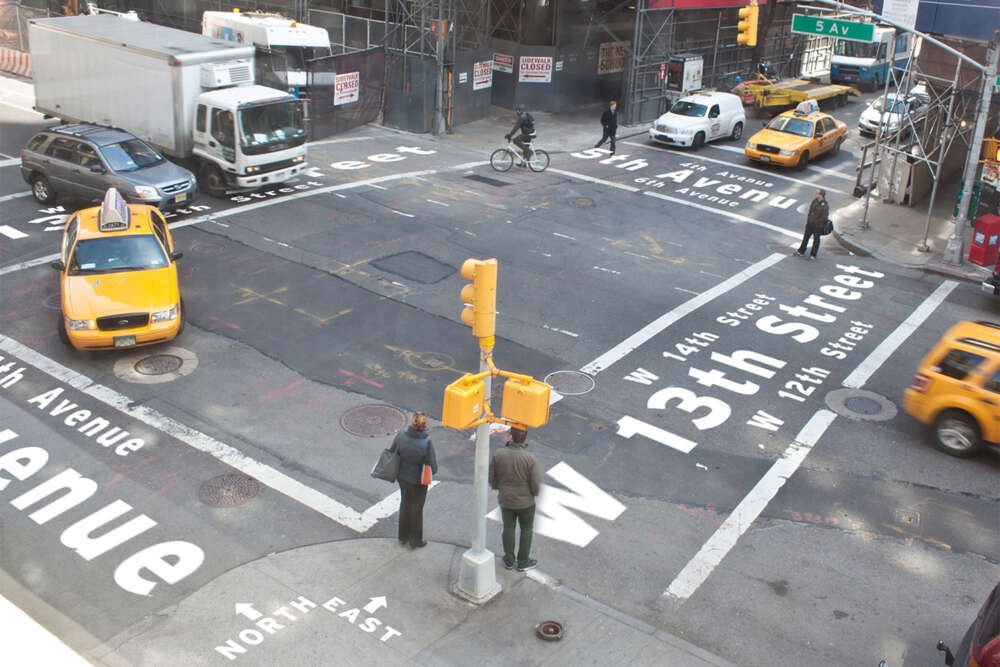
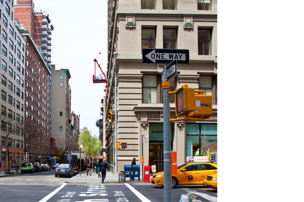
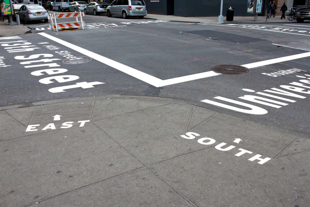
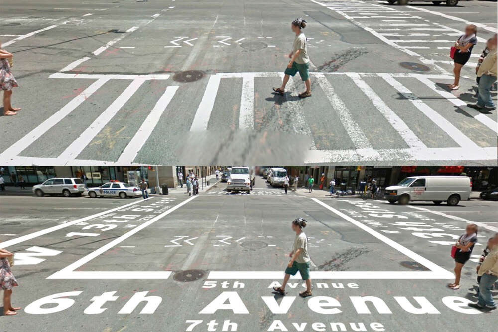
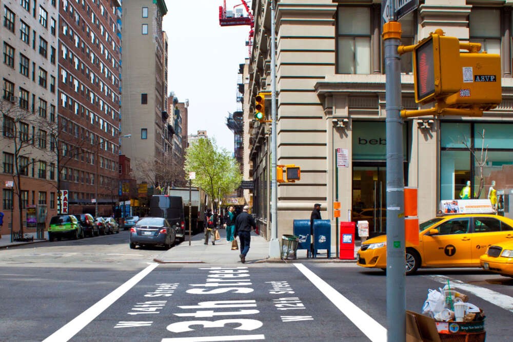
What trains are near? Which way is west? Where is Broadway? What neighborhood is this? Are there any parks nearby? Any malls? These are all common questions to a lost New Yorker and even more so with tourists and visitors. With such a large city, the fourth most populated in the world, It can be quite challenging and even intimidating trying to navigate around all the towns and boroughs of New York City. Being so large, why is there not a clear and unified navigation system that walking pedestrianscan rely on? Are train and bus maps the only public aids we are given? With millions of residents and tourists flowing daily through the streets, New York City is a major urban landscape that is always moving and changing. Hosting so many visitors unfamiliar with their new environment as well as residents adapting to changing bus and subway routes, it is no wonder why New York City never sleeps, we are all lost! Have you ever exited out of a train station and walked a block or two in the wrong direction? Now just imagine how a visitor unfamiliar with New York City would feel. Within a wayfinding system of any usage or style, it is always also important to include visual elements within a users environment. New York City uses thousands of gallons of paint yearly to keep crosswalks and lane lines visible on the streets. Outside of creating ‘boundary’ lines, what else can be used to save money and help the public? Why not integrate a navigational system and create an informative crosswalk.